Craighead County Public EDGE GIS Goes Live
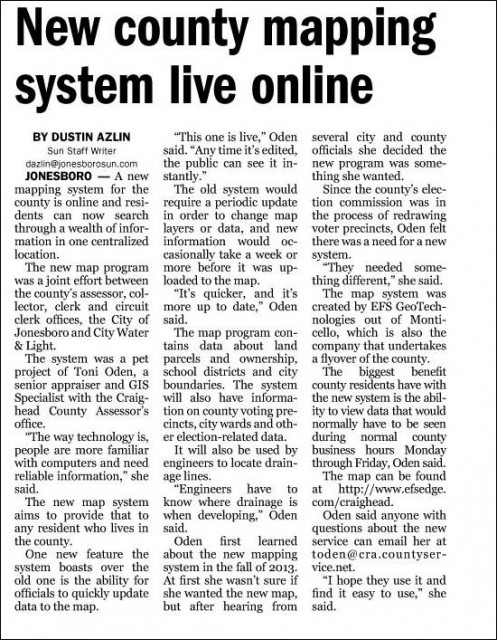
EFS GeoTechnologies is excited to see our technology being shared with the public. EFS has been working with Craighead County and the City of Jonesboro, Arkansas for several years. This year they decided that along with Aerial Photography they wanted to start working with our EDGE GIS to make their GIS data available to City and County users the instant it is created or updated. The article below is from the Jonesboro Sun Newspaper. To see the Craighead County EDGE public viewer go to www.efsedge.com/craighead.

EFS GeoTechnologies is an Aerial Photography and GIS Services company based in Monticello, Arkansas. To learn more about EFS please visit www.EFSGEOTECH.com. Also, to receive updates from EFS you can follow them at Facebook and Twitter.


