Aerial Photography
Listed below are some common areas where our aerial photography service and experience are frequently utilized:

High Resolution Digital Aerial Imagery
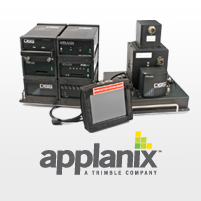
We use the Applanix DSS-439 digital sensor to provide a comprehensive solution for producing affordable, highly accurate, high-resolution color and color-infrared digital orthorectified imagery and mosaics. Certified by the
USGS, this is the leading digital imaging answer for aerial survey and re- mote sensing applications requiring a rapid, cost- effective and high-resolution solution. Whatever your application; forestry, power line or pipe line right-of-way, resource management, government entity, etc., the DSS-439 provides the solution. Our accurate, high-quality aerial imagery will meet and exceed your standards.

